
Munros, Wainwrights and more
Best Hill Lists Images and Marketing Description


First released in 2009, this popular application includes data for almost 20,000 hills in the UK and Ireland, plus over 90 lists including ...
Munros and Munro Tops, Corbetts, Grahams, Donalds, Furths, Marilyns, Wainwrights and Outlying Fells, Birketts, all County Tops and many more.
Almost an entire lifetime of hill walking. If you run out, please let me know!
FEATURES
- Choose the lists you would like to complete, and view counts per list (hills completed, total and percentage)
- View each list on a map, and animate your journey in the order climbed
- Sort lists by section/book number/region, name, height, distance, date climbed or ascents
- Add your own lists based on region, drop, height ... etc
- View all ascents in the app, sorted by date climbed
- View all hills in the app sorted alphabetically, by distance from your default location, section, height ... etc
- Track completed hills by ticking those you have climbed, adding the date and any notes for each ascent
- Supports multiple ascents (per hill) and multiple rounds (of lists)
- See route information for popular hills, provided via external links to the Walk Highlands and MountainViews websites
- View up-to-date weather information for selected regions in Scotland, Wales and England, provided by the Mountain Weather Information Service (MWIS) website
- Share your location by email or SMS/text when you get to the top of each hill
- See statistics of your ascents, e.g. a breakdown per month or by year, plus a list of most frequently climbed hills
- Browse nearby hills on a map
- Set your default location by searching for places or postcodes
- Backup your data and sync it between devices using iCloud, Dropbox, AirDrop or email
- Universal app, works on the iPhone, iPod Touch and iPad
DATA, ROUTES AND WEATHER
The data for the UK and Ireland has been extracted from version 18.4 of the Database of British and Irish Hills (DoBIH), with kind permission from Chris Crocker and Alan Dawson.
Route information for the Munros, Corbetts, most of the Grahams, Donalds, Wainwrights, Hewitts and most of the Trail 100 is provided via external links to the Walk Highlands website.
Route information for all the lists in Ireland is provided via external links to the MountainViews website.
Weather information for Scotland, England and Wales is provided by the MWIS website.
SUPPORT
Please use the link to my support page from the App Store page or from the app itself (or simply go to http://grahamhaley.co.uk/hills/).
Alternatively, contact me directly via my support pages and you will get a quick response.
Hill Lists Revenue and Downloads
Measure Hill Lists performance and get insights with AppstoreSpy data you won’t find anywhere else using our Analytics, Revenue Stats ans Trends.
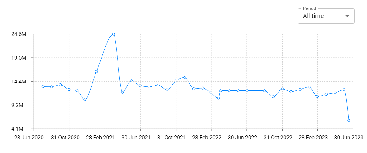
Hill Lists Global Top Charts: Interactive Map of Country and Category Rankings
Hill Lists Revenue and Installs Distribution by Countries
Hill Lists Changelog

