
Watermark photos with location
-
Total Installs
-
Monthly Installs
-
Daily Installs
-
Monthly Revenue
Top Countries
no
iAP
Crawled
Best DLSPhoto Images and Marketing Description

DLSPhoto (Dominion Land Survey) is an app created by the developers at AbaData.
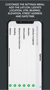
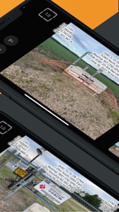
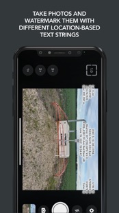
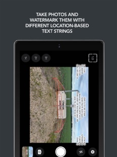
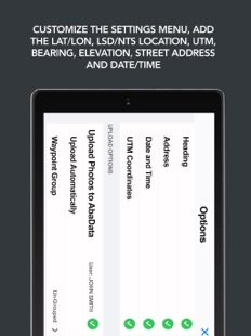
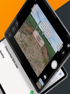
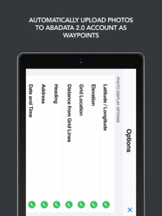
The app allows users to take photos and watermark them with different location-based text strings. By customizing the settings menu, users can add the Latitude/Longitude, LSD/NTS Grid Location, UTM Coordinates, Bearing, Elevation, Street Address and Date/Time.
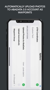
There is also an added AbaData 2.0 integration which allows users to automatically upload their photos to their AbaData 2.0 account as waypoints, eliminating the need to transfer them to a secondary device.
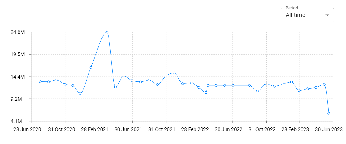
DLSPhoto Revenue and Downloads
Measure DLSPhoto performance and get insights with AppstoreSpy data you won’t find anywhere else using our Analytics, Revenue Stats ans Trends.
DLSPhoto Global Top Charts: Interactive Map of Country and Category Rankings
DLSPhoto Revenue and Installs Distribution by Countries
DLSPhoto Changelog

App contains SDKs
DLSPhoto Ad сreatives
No data at this timeSearch in Meta Ad Library